Trashigang
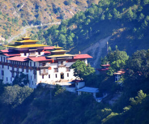
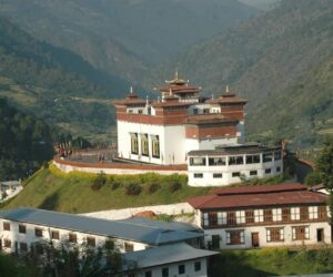
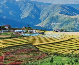
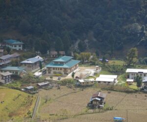
Trashigang district, located at an elevation of (alt. 1100m/3610ft) – is the largest district in Bhutan covering an area of 2204.5 square kilometers. Its area extends to the easternmost corners of the kingdom, skirting up to the edge of the Indian state of Arunachal Pradesh. It has three sub-districts and fifteen gewogs. Rangjung, Kanglung and Wamrong are some of the major towns under Trashigang district.
Trashigang, once the centre of a busy trade route with Tibet, is today the junction of east-west highway with road connecting to Samdrup Jongkhar and then to the Indian States of Assam. This town is also used as the market place for the semi nomadic people from Merak and Sakteng whose costumes are unique in Bhutan.
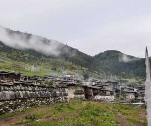
With an altitude ranging from 600 m to over 4000 m from sea level Trashigang is home to the Sakteng Wildlife Sanctuary. The Sakteng Wildlife Sanctuary, one of ten protected areas of Bhutan, was created in part to protect the migoi, a type of yeti, in whose existence most Bhutanese believe. The sanctuary covers the eastern third of the district (the gewogs of Merak and Sakteng), and is connected via biological corridor to Khaling Wildlife Sanctuary in Samdrup Jongkhar District to the south.
